
Durham to Chester-le-Street
| 7-10th May 2025 | This general update for walkers concerns current access and navigation on Section 11 of the Weardale Way (Durham to Chester-le-Street) with particular regard to where it differs from what might be published elsewhere on this site or in our Weardale Way Pocket Guide.
Local conditions and heavy use quickly degrade infrastructure – particularly timber – causing impromptu and possibly persisting access and/or navigation issues. The chances of the trail changing in some way – short and long-term – is even more likely in urban areas. If your experience is different to what we’ve published here, you can help by leaving your insights in the comments.
Conclusion
Apart from some superficial differences relating mainly to vegetation growth and management, this section remains as published in the guide book. Specific Weardale Way way-marking is almost non-existent and what there is needs maintenance (helpfully, both Cuddy’s Corse and Northern Saints Trails follow the same route). Hopefully this will improve but until it does a GPS file from The Durham Cow should keep you on the right track.
While the steps away from the River Wear at Finchale will test the fittest, there’s an easier, if longer, alternative following the riverside trail upstream before looping back, uphill, through the wood. Infrastructure on this section is limited to two or three stiles after Great Lumley. They’re in decent condition but, as always, take care when using them.
That’s it for Section 11. We hope this helps. If you have anything to add please feel free to do it in the comments. Happy Walking!
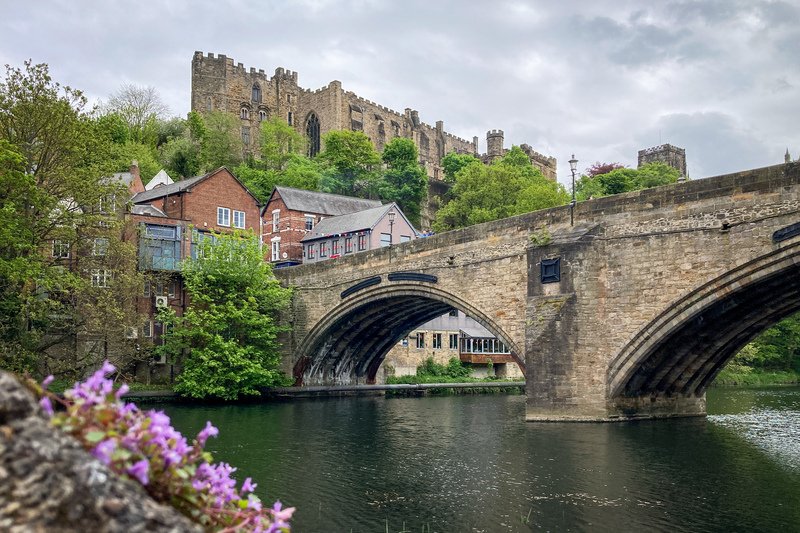
Gallery
View a comprehensive selection of images for Section 11 taken on the day(s) of the update in our Google Gallery.