
South Bank to Teesmouth or Redcar
| 17th May 2025 | This general update for walkers concerns current access and navigation on Section 14 of the Teesdale Way (South Bank to Teesmouth or Redcar) with particular regard to where it differs from what might be published elsewhere on this site or in our Teesdale Way Pocket Guide.
Local conditions and heavy use quickly degrade infrastructure – particularly timber – causing impromptu and possibly persisting access and/or navigation issues. The chances of the trail changing in some way – short and long-term – is even more likely in urban areas. If your experience is different to what we’ve published here, you can help by leaving your insights in the comments.
Footbridge Diversion (Footpath No. 2 Eston)
This is a temporary diversion imposed by Redcar & Cleveland Borough Council due to a failing footbridge at a location where the trail is extremely confined. The order should have been rescinded on 1st May 2025 but remains in place as works have yet to be completed. The diversion offered is not a good one I’m afraid. It’s much longer and far less pleasant, using industrial roads and trunk roads (as diversions invariably are in this area of Teesside). If you want to get the best out of this section of the Teesdale Way, wait until repairs have been completed. The diversion is offered as an option on our GPS file.
Flood Diversion
This section of the trail by the old Lackenby Mills has been flooded as long as I’ve been walking it. What seems to be changing is, that as well as appearing to become deeper it’s become more integrated with the adjacent reed bed to the extent that it appears managed and that the trail simply ends there and either requires duckboards or re-routing. The workaround (not a particularly attractive one, but easy enough and which I’ve had to do on more than one occasion over the years) is offered as a GPS file option and shown in Google album linked to in this post.
Conclusion
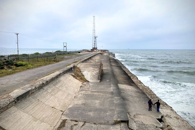
Other than the issues listed above, the route is as published in the guide book for this section. Specific Teesdale Way way-marking is good, with many well-maintained, bespoke fingerposts, however the GPS file from The Durham Cow offers alternative routing for the diversions. While there are no stiles on this section, gates, bridges and steps (much of which is industrial infrastructure) are in good condition, but still require care to cross. Bear in mind that if you opt to walk along the beach in either direction, it’s quite tiring to walk on dry, loose sand if the tide is in.
That’s it for Section 14. We hope this helps. If you have anything to add please feel free to do it in the comments. Happy Walking!
Gallery
View a comprehensive selection of images for Section 14 taken on the day(s) of the update in our Google Gallery.
Thanks for the photos of section 14. I’ll have to have another look for the memorial when I go down to do the short bit to Redcar so I can see the 100 miles to Dufton sign
Thanks for the thanks Sue! Take care.